NEWS


NORMAN, OKLA. – Researchers from the University of Oklahoma have joined the National Endowment for the Humanities Community Deep Mapping Institute and a community-based organization to create a layered history of a community park in Picher, Oklahoma.
The OU team is led by Department of Geography and Environmental Sustainability researchers Laurel Smith, Todd Fagin and Jacqueline Vadjunec. Smith explains that deep maps provide rich and unique information about a space, going beyond geographical location to encompass the environmental and cultural characteristics of places. These types of maps can tell complex stories by augmenting traditional maps with images, sounds, oral histories, historical documents and more.
Smith, who is the interim chair of the Department of Geography and Environmental Sustainability at OU, is a cultural geographer who and has collaborated with Native filmmakers on five short films that visualize Tribal environmental stories. She has been involved with the Air, Water, and Work (AWW) in Ottawa County, Oklahoma project since 2021. An oral history and storytelling project initiated by the Local Environmental Action Demanded (LEAD) Agency, a non-profit environmental advocacy group based in northeastern Oklahoma, the AWW project draws on interviews and insights emerging from LEAD’s deep relationships with Ottawa County residents.
“It’s very much about past memories and futurity,” said Smith of the project. “The smell of the countryside when you’re sitting on the back porch, or going hunting with your uncle or swimming in the ponds and creeks before Tar Creek became contaminated. How might appreciation for the past inform visions of future well-being?”
Now, with Fagin and Vadjunec, Smith is helping to bring their expertise to the work of digitally and geospatially situating the stories and history of a Picher, Oklahoma community park.
Once a vibrant Ottawa County community located at the heart of the Tri-State Lead and Zinc District, Picher is now part of the Tar Creek Superfund Site. At the behest of Sen. Jim Inhofe, the federal government subsidized the buyout of Picher residents after a 2006 subsidence report by state, federal, and Tribal governments determined ongoing risks of collapse. The mine shafts that once made Picher the most productive mining field in the district threatened the town. A 2008 F4 tornado further damaged what remained of the community and killed six people. The town was officially disestablished in 2013.
Through this project, Smith and her collaborators will showcase stories about a specific geographic space and its surrounding community. The team hopes to celebrate what people love about Ottawa County, recognizing the dangerous work that citizens did there and supporting residents’ dreams for the future.
“We want to honor LEAD Agency’s co-founder, Rebecca Jim’s, desire for people to love Tar Creek again,” said Smith. “People often tell LEAD Agency staff that they are tired of being told they live in a disposable, sacrificial zone.”
The NEH Community Deep Mapping Institute supports scholars and their community partners the opportunity in developing their own deep maps. Currently, the team attends monthly virtual workshops. In July, four AWW team members, two from OU and two from LEAD Agency, will attend a two-week in-person institute at the Michigan Technological University.
For Smith, this is also an opportunity to find more ways to foster students’ professional goals after graduation. “If social-historical geographers develop geospatial skills to do deep mapping, they can find careers outside academia, and that’s very important to me.”

About the University of Oklahoma
Founded in 1890, the University of Oklahoma is a public research university located in Norman, Oklahoma. As the state’s flagship university, OU serves the educational, cultural, economic and health care needs of the state, region and nation. For more information about the university, visit www.ou.edu.
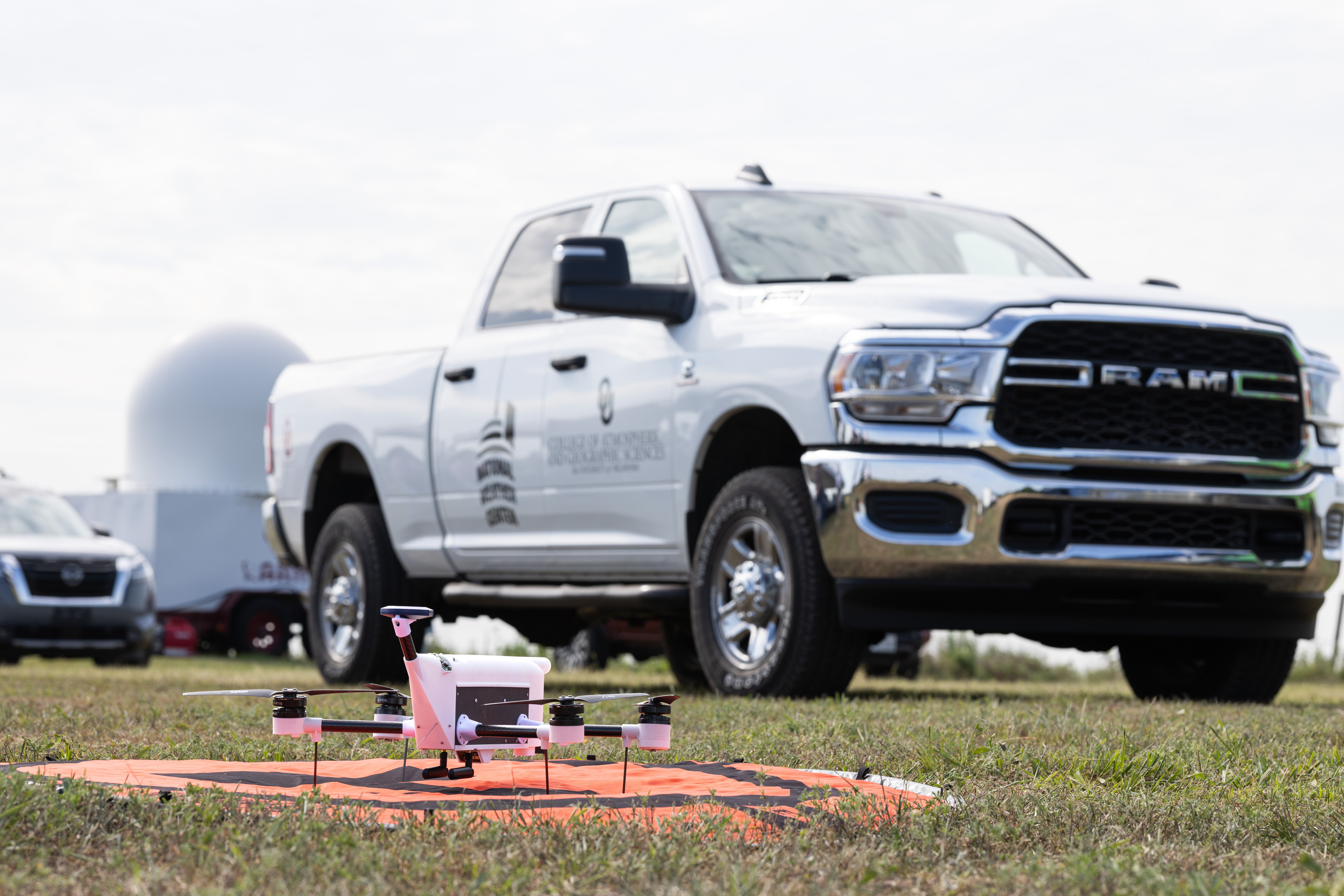
The National Weather Service has, for the first time, purchased vertical atmospheric profiles collected by drones — data collected by the University of Oklahoma (OU) and Meteomatics. The milestone is the next step forward for the Oklahoma 3D Mesonet.
A University of Oklahoma researcher is part of an international team developing a new way to discover obesity drugs using human cells instead of animal models, an approach that could speed the development of more effective and affordable treatments. The effort is supported by a $12 million grant from the Novo Nordisk Foundation.
New findings from the University of Oklahoma, published in Cell Death & Disease, reveal that photoreceptors perform much of their own internal housekeeping.