Skip Navigation

NASA-Funded Study to Improve Mapping, Predictability of Landslides

April 27, 2023

NASA-Funded Study to Improve Mapping, Predictability of Landslides

Photo of the Ouchita Mountains
Photo provided by David Deaton

Netra Regmi, Ph.D., hazards geologist for the Oklahoma Geological Survey at the University of Oklahoma, is leading a study funded by NASA using remote sensing data and machine learning to improve scientists’ understanding and predictability of landslides. Remote sensing data helps scientists detect and monitor changes on the Earth’s surface over time.

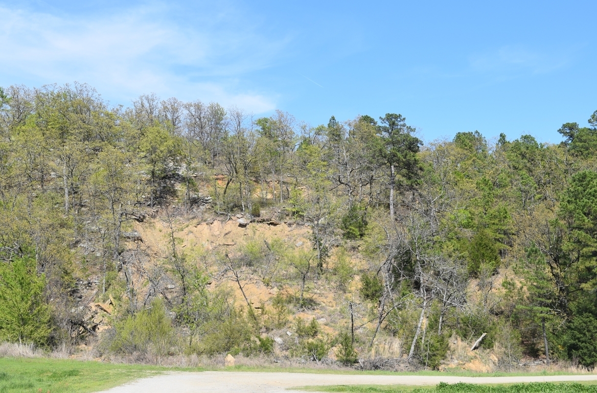
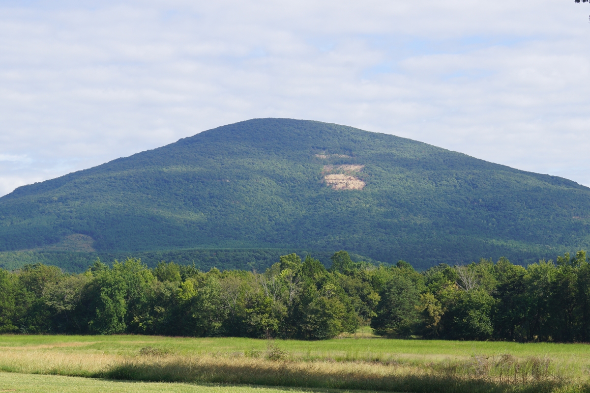
According to NASA's Earth Science Division, landslides are one of the major geohazards that cause thousands of fatalities and billions of dollars in damages each year across the world. Data from the U.S. Geological Survey estimates that landslides cause more than $1 billion in damages and about 25 to 50 deaths each year in the United States. Landslides occur in every state and U.S. territory and pose significant hazards in eastern Oklahoma’s Ouachita and Ozark mountains.

Regmi, with Oklahoma Geological Survey researchers Nicholas Hayman and Jacob Walter, and School of Geosciences assistant professor Junle Jiang, are building on previous research that mapped a large number of landslides in eastern Oklahoma. Using expanded data sets, the research team is now looking to better understand the causes, mechanics and associated hazards of these landslides.

Photo of the Ouchita Mountains

“Using Sentinel-1 synthetic aperture radar data and LiDAR topographic data, we are looking at patterns of hillslope deformation over time – all the different types of landslides going from slow-moving landslides (soil creep) to rapid landslides that can be catastrophic,” Regmi said. “We’re trying to understand the distribution, causes, triggers and mechanics of these landslides.”

Many factors can contribute to landslides, from atmospheric conditions like severe weather, precipitation and humidity to seismic activity, human activities that modify slopes such as mining and construction, and more.

Using machine learning techniques and relating what is known about landslide occurrences with additional data related to the potential contributing factors, the research team plans to develop a high-resolution landslides susceptibility map to attempt to forecast future landslides in eastern Oklahoma. The map and information resulting from this study could be used to help local emergency managers and others improve safety and hazard communication for those most at risk in landslide-prone areas.

“It is advanced science because looking at the soil creep and their progression into rapid landslides, not too much work has been done worldwide,” Regmi said.

Learn more about the Oklahoma Geological Survey at https://www.ou.edu/ogs and about the project at https://netraregmi.oucreate.com/recent-projects/.

The project, “Monitoring Hillslope Dynamics Using SAR Time Series and Machine Learning,” is funded by NASA, award no. 80NSSC22K1723.