OU researchers have a variety of tools at their disposal when looking at weather patterns and when forecasting and modeling. One tool gaining popularity and functionality is the uncrewed aerial system (UAS) or drone.
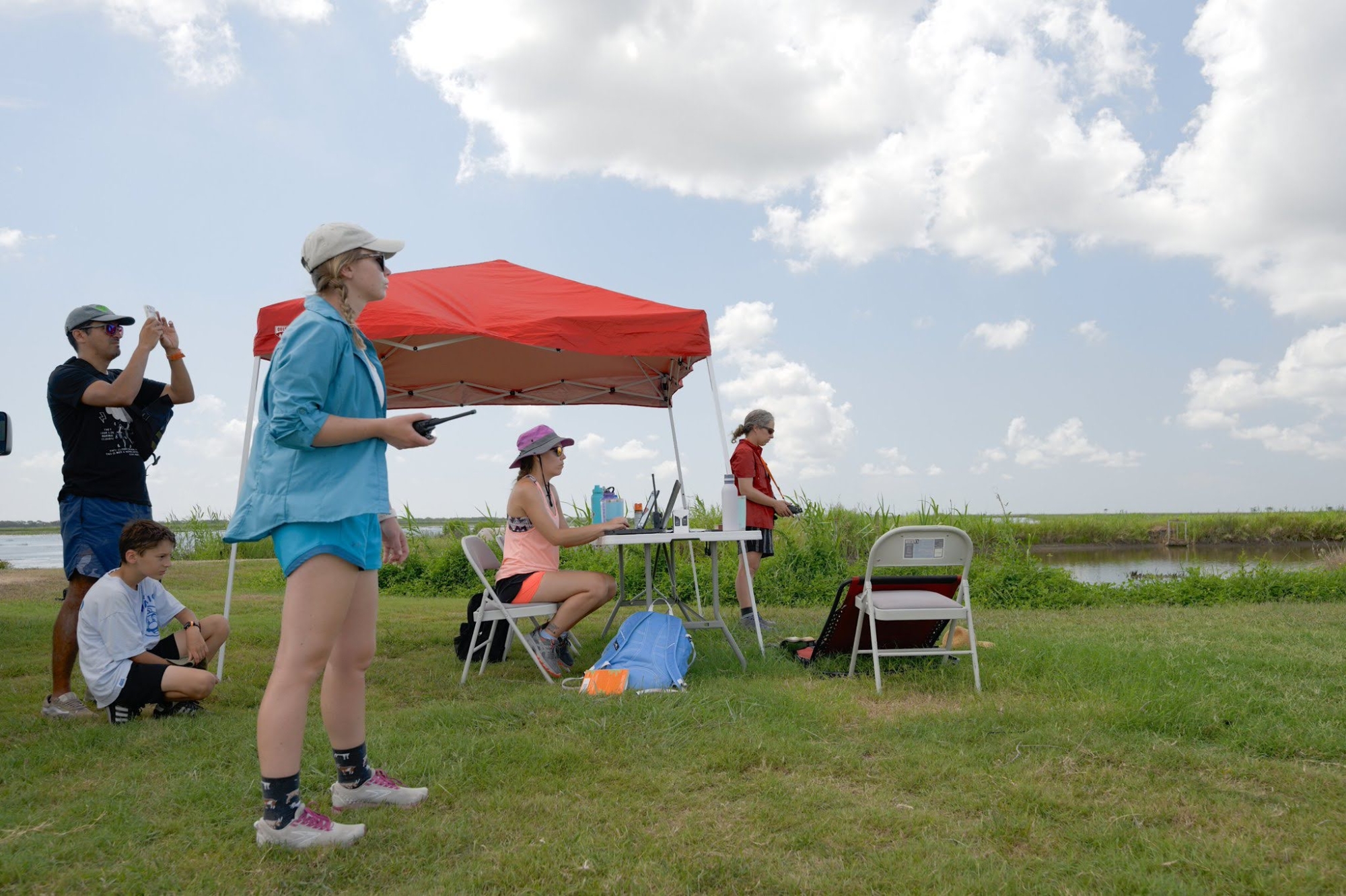
An interdisciplinary team on campus is currently developing and testing drones and collecting data to better understand the atmosphere’s boundary layer and its effects on severe weather formation.
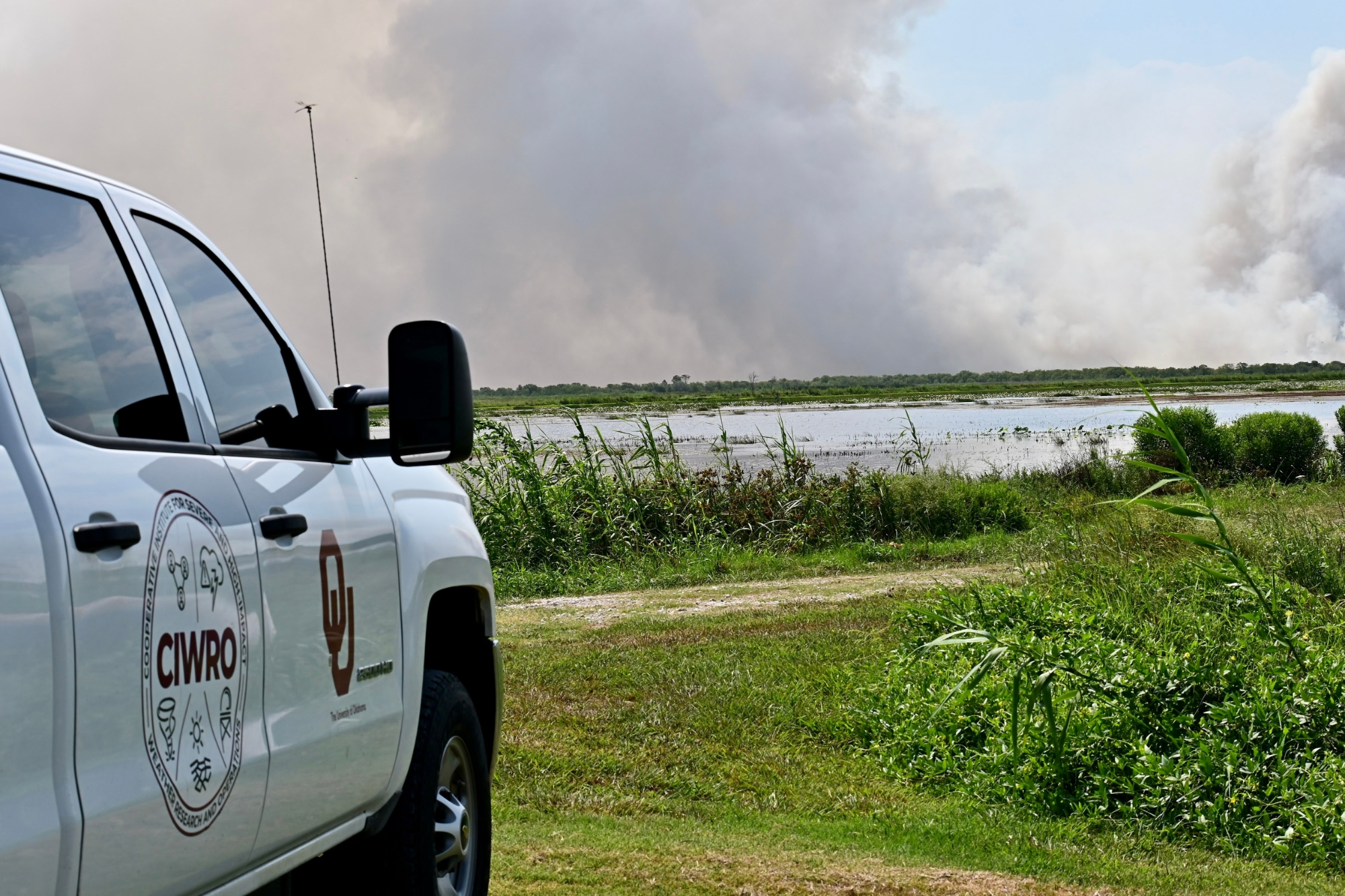
The Boundary-Layer Integrated Sensing and Simulation (BLISS) group comprises OU School of Meteorology faculty, staff and students; research scientists from the Cooperative Institute for Severe and High-Impact Weather Research and Operations (CIWRO); and NOAA National Severe Storms Laboratory (NSSL) federal scientists. The cross-functional team operates various UAS, two Collaborative Lower Atmospheric Mobile Profiling System (CLAMPS) facilities, as well as a truck that uses lidar – a remote sensing method that uses light in the form of a pulsed laser to measure ranges. These all enable the researchers to collect extensive data that helps improve scientific understanding of the atmosphere’s boundary layer, the lowest few thousand feet of the atmosphere.
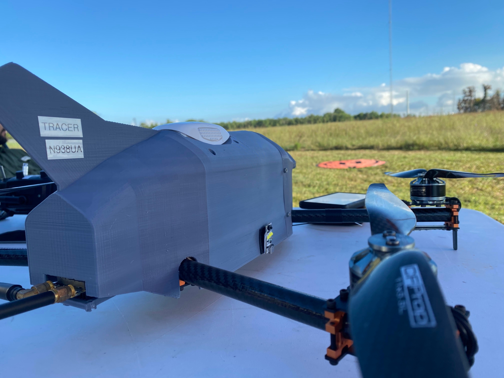
BLISS has 10 CopterSondes as part of their UAS arsenal. The CopterSonde is a testament to OU innovation. Designed in-house by OU scientists, the UAS platform is instrumental in BLISS research goals. In 2022 alone, the group has logged over 640 flights.
“After every field campaign we participate in, there is always something to improve,” said Antonio Segales, a doctoral student in the School of Electrical and Computer Engineering, Gallogly College of Engineering, and CIWRO research associate. “There is always something to learn in the field.”


