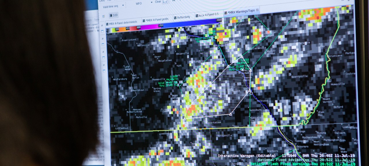
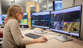
“The National Weather Service is working toward earlier warnings for weather hazards,” Vergara Arrieta said. “There is a gap between the NWS’s ability to produce high-quality information about the natural threat and the actions the general public can take to prevent the impacts that flash floods can have on life and property. This project aims at helping the NWS in their efforts to close that gap by developing impact-based products informed by data from previous flooding events.”
The researchers will adapt the software to indicate the anticipated impacts from flash flooding, which may be categorized from basic to catastrophic. This guidance can then be used by forecasters to guide their warning decisions and communicate the anticipated magnitude, specific impacts and the underlying uncertainty in probabilistic flash-flooding products.
“If it is a base-level flash flood warning, you won’t be notified by your cell phone, but if the National Weather Service advances it up to the considerable or catastrophic level in your alert region, you’ll be notified by your cell phone, see a flash flood warning box on the television, be notified on the radio, and so on,” Gourley said.
The upper-level warnings also alert emergency management officials in local communities to prompt responses such as notifying local law enforcement to potentially set up barricades or visit high-risk areas.
The project to develop the software was initially funded by NASA and NOAA and ultimately transitioned to operations within the National Weather Service. The improvements in this software development now are funded through a two-year grant awarded in August 2020 from NOAA and the U.S. Department of Commerce.


