Streamflow Data
USGS
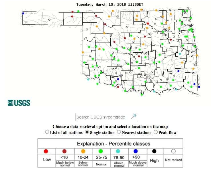
The USGS provides current (~200 sites) and historical (~250 sites) streamflow data for gaged sites in Oklahoma. Manual measurements of streamflow and gage height are also provided for ~950 sites.
OWRB
Map of streamflow gages and lake level gages (USGS, USACE, and OWRB gages). Click each site and select ‘more info’ on the Data url to access streamflow and lake level data.


