Lake Level Data
US Army Corps of Engineers
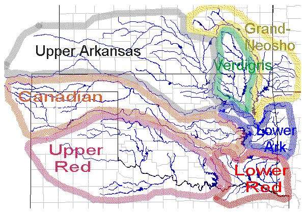
Lake level data can be viewed here. Click on a basin to zoom into view, then click on a site to access the reservoir home page. Under ‘Links for more information’, you can access hourly data for this reservoir for the current day, or you can access monthly charts of available reservoir daily data for pool elevation, storage, releases, evaporation, inflow, and rainfall.
OWRB
Map of streamflow gages and lake level gages (USGS, USACE, and OWRB gages). Click each site and select ‘more info’ on the Data url to access streamflow and lake level data.


