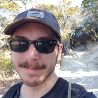
Carter Lewis is a research associate for the Oklahoma Geological Survey. He assists with the OGS’s STATEMAP initiative, which has been established to focus on geologic mapping of areas deemed to be of economic, social, or scientific importance. Carter also assists with the Earth Mapping Resources Initiative (Earth MRI), which has been established to improve the knowledge and geologic framework of critical mineral resources in the United States.
Carter received his bachelor’s degree in geoscience from Texas Tech University in 2020, and his master's degree in geology from Texas Christian University in 2022. In addition to STATEMAP and Earth MRI programs, his research interests include structural geology, tectonics, and geoscience education.


