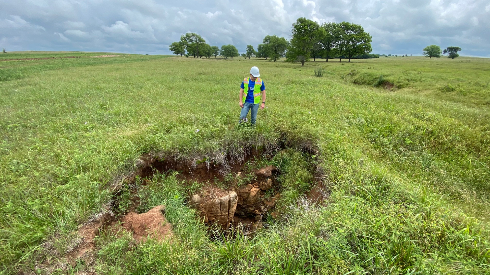
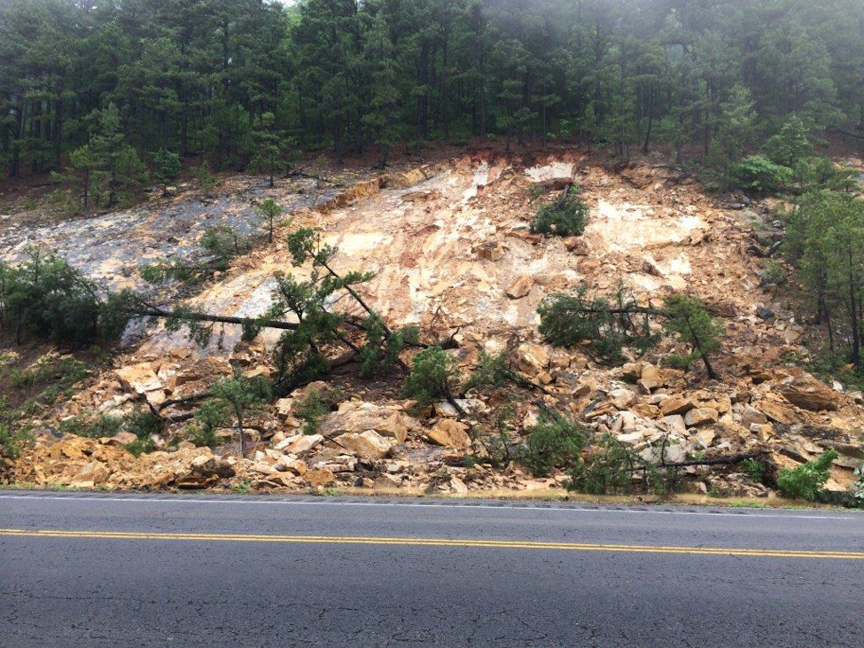
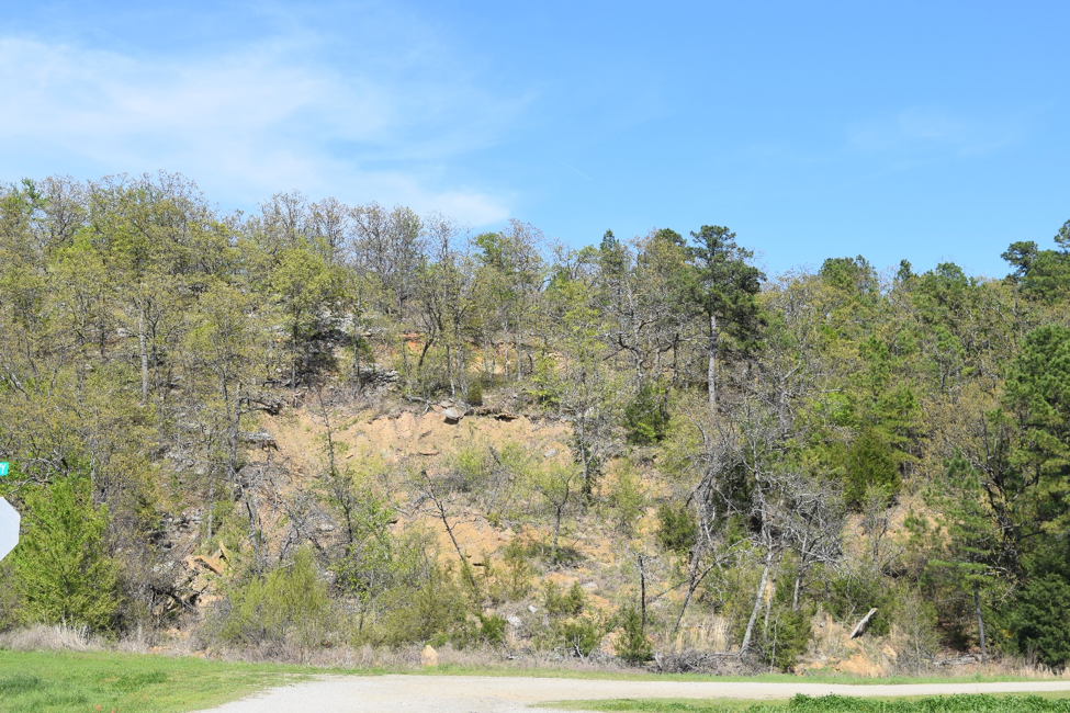
Sinkhole development can occur slowly over long periods of time or rapidly in a matter of hours or days. The primary mechanism for their development is water flowing beneath the surface, eroding bedrocks and sediments from within, eventually creating large voids or conduits. When the ground overlying these voids and conduits collapses, a sinkhole appears!
With all the recent rainfall (April 2025), experts at the Oklahoma Geological Survey are expecting an increase in the number of sinkholes appearing across the parts of Oklahoma most impacted by the rains. Most of these sinkholes are expected to be small and will probably occur where water was flowing beneath roadways and driveways, eroding soils supporting the weight of the road which then leads to load failure and collapse.
In other areas where the bedrock is comprised of rocks like limestone or gypsum, these rocks often contain well developed networks for underground drainage of storm water creating a type of aquifer known as "karst". When sinkholes occur in karst, they can be quite large. In fact, the largest sinkholes on Earth are karst sinkholes.
When sinkholes form in karst, it is usually because underground flood water rapidly accelerate erosion or because the water levels reach the ceilings of caverns and exerts an upward force causing the ceiling to lift ever so slightly. When the flood waters recede, this upward force is removed and causes the cavern ceilings to come back down. When the movement exceeds the mechanical strength of the rock, the ceilings can collapse.
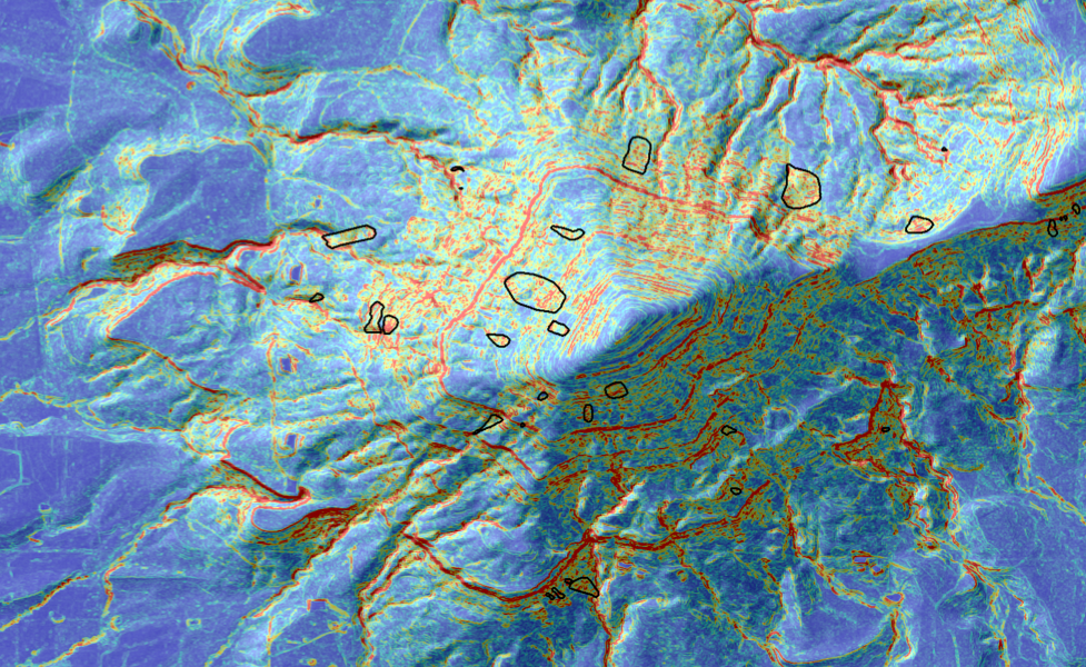
The OGS is interested in mapping the distribution of sinkholes to better understand where they're occurring in the State. Sinkholes can be important as input points for recharging groundwater in aquifers, but they can also be dangerous. Entering sinkholes is not advised except by professionals with the proper equipment and safety features. If you know of a sinkhole (new or old) please feel free to report it the OGS using the link below. Photos and location information are most useful for helping us make assessments.

