Wichita Mountains Data
The National Geological and Geophysical Data Preservation Program (NGGDPP) was created in the Energy Policy Act of 2005 to promote the preservation, archiving, and availability of geologic, geophysical, and engineering data, maps, well logs, and samples for research. In FY2024, OGS obtained funding from NGGDPP to purchase a thin section scanner so that we could begin the process of cataloguing and scanning all of the thin section collections at OPIC, particularly those with critical mineral relevance.
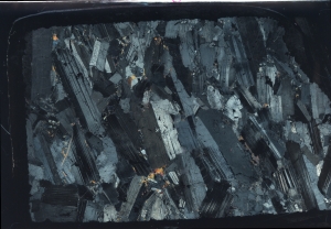
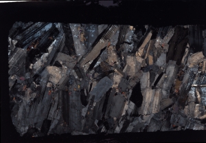
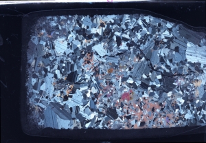
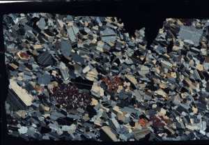
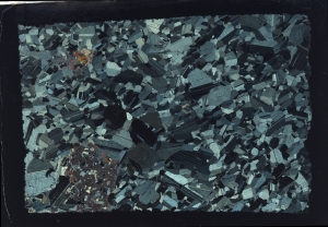
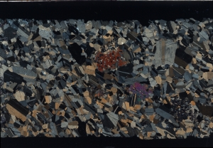
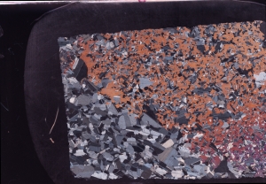
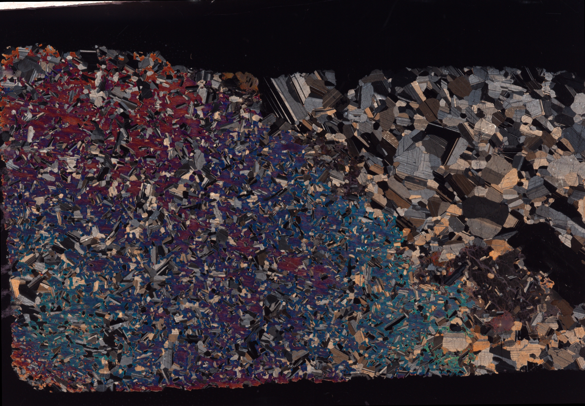
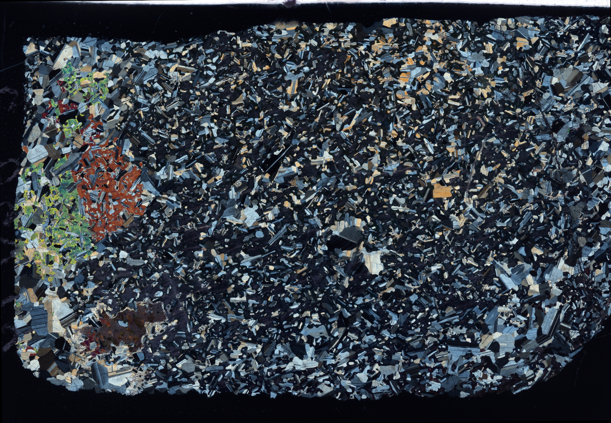
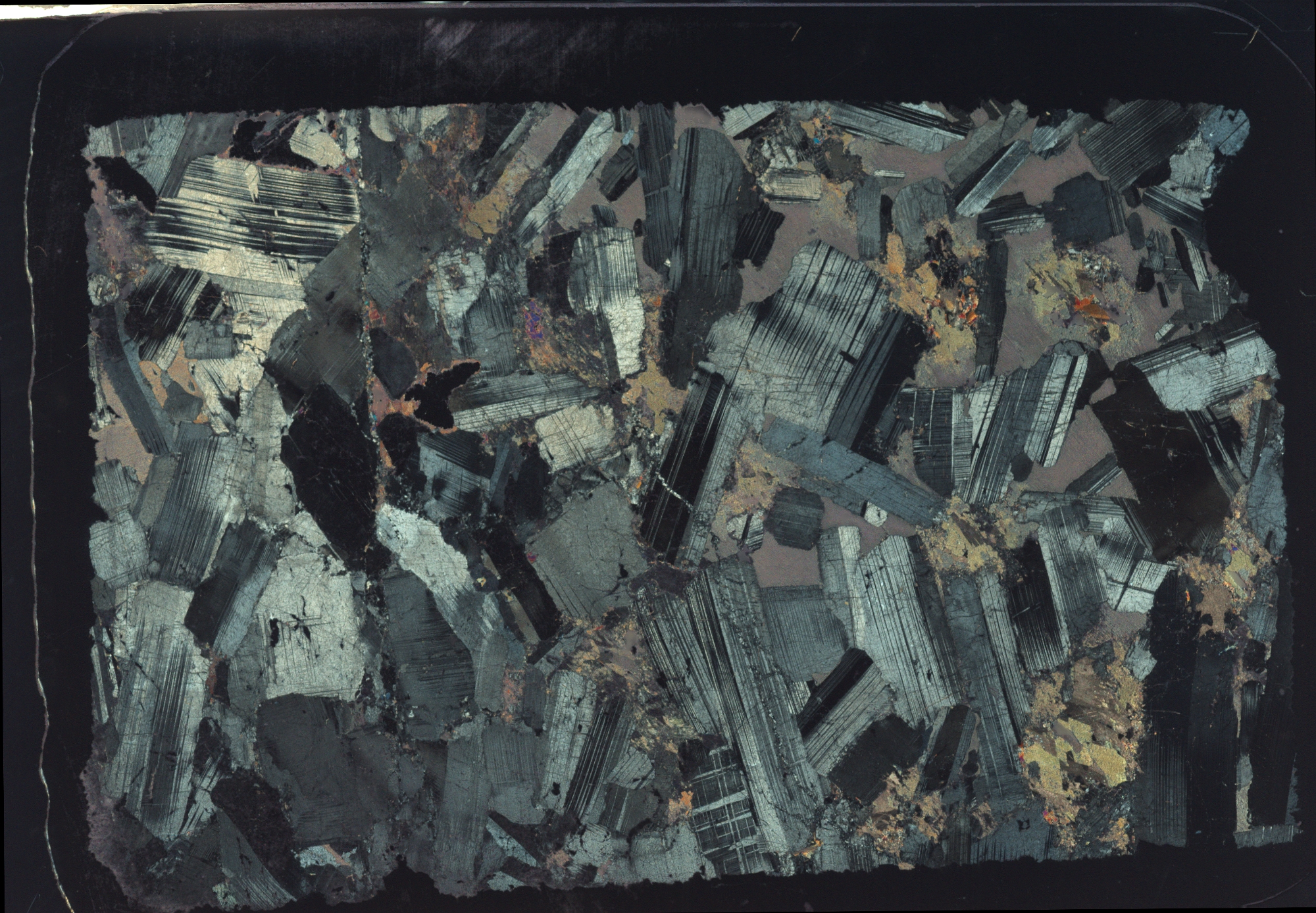
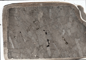
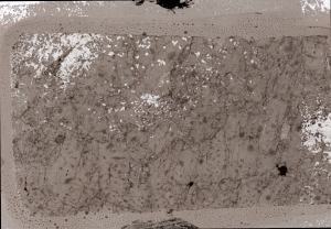
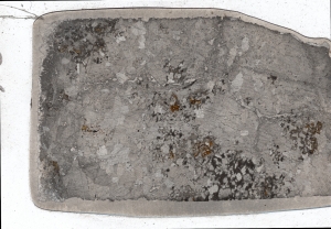
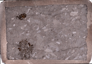
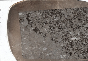
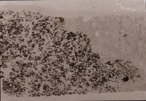
The first collection scanned is the Glen Mountain Thin Section Collection that was donated by Roger Cooper. These samples are all taken from gabbros from the Glen Mountain Layered Igneous Complex of the Wichita Mountains.
Roger Cooper’s Glen Mountain Collection
The Glen Mountain Layered Complex (GMLC) Collection have been scanned in plane-polarized light and cross-polarized light and at 2 different resolutions (2400 and 7200 dpi). The lower resolution images (2400 dpi) are linked below. Higher resolution images of the scanned thin sections (7200 dpi) are available upon request (email Lindsey Hunt, lehunt@ou.edu).
Low Resolution Images (2400 dpi) - click filename to preview
**Note: All images can be previewed (preview is BENEATH each link). Files can be downloaded for free (click link -> right-click -> Save As...)
Plane Polarized Light
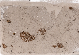
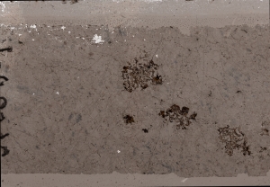
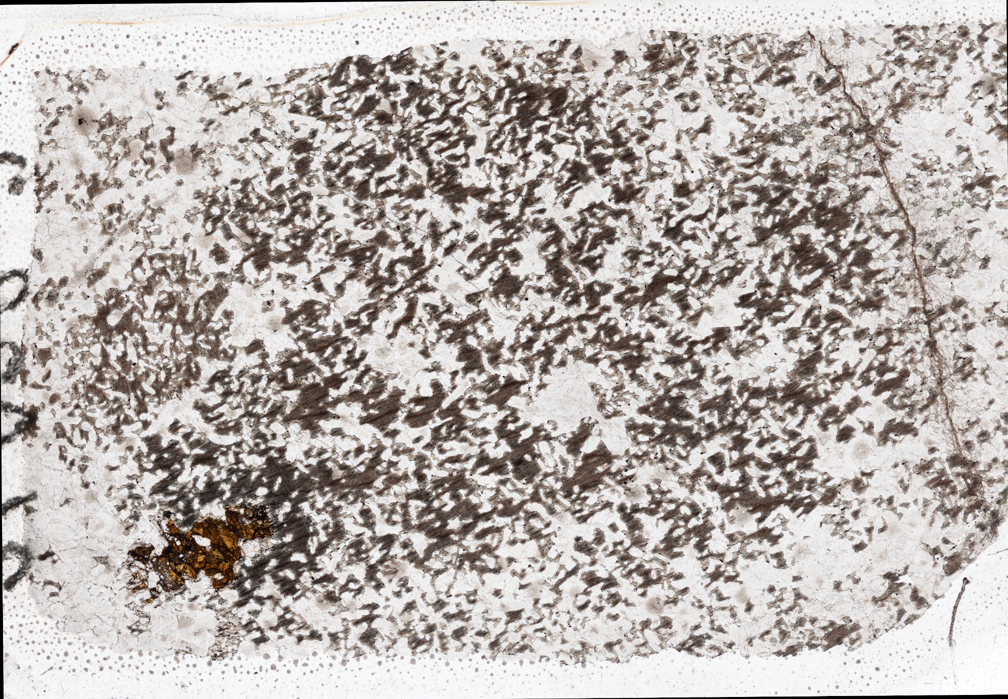
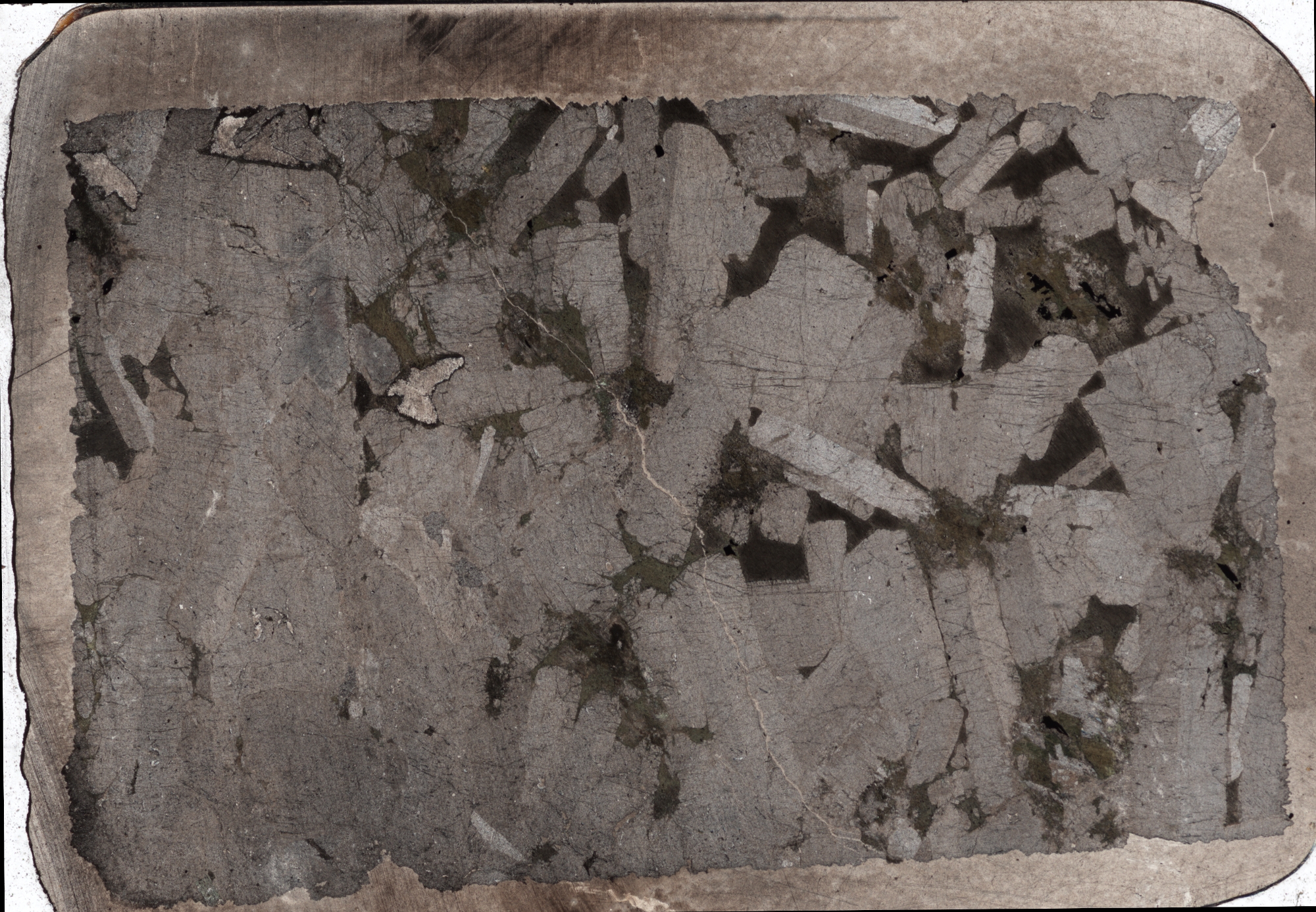
Cross Polarized Light