|
Early GIS
We used Texas Instruments DS990 computers, a basic operating
system, and eight inch dual floppy discs, with no hard drive. The
map combining process was two maps at a time..., to produce a third.
The resulting map was combined with perhaps the product of two other maps,
etc, etc.
The process had over 10 combining steps and 63 15 minute
quad sized maps per combining step. I do remember taking 8 months
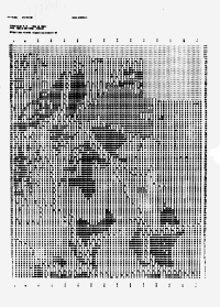
just to produce (print) the black and white maps (as composite of overstrike
characters). |


