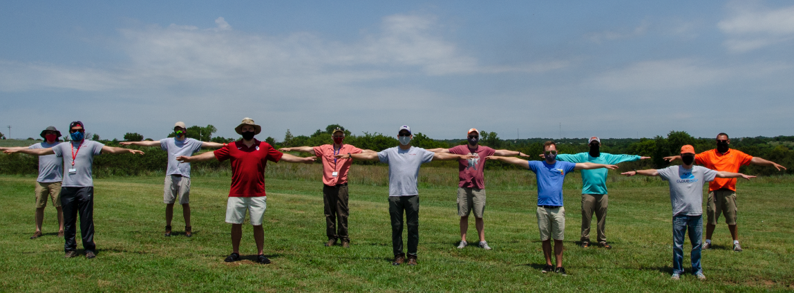
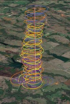
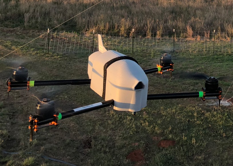
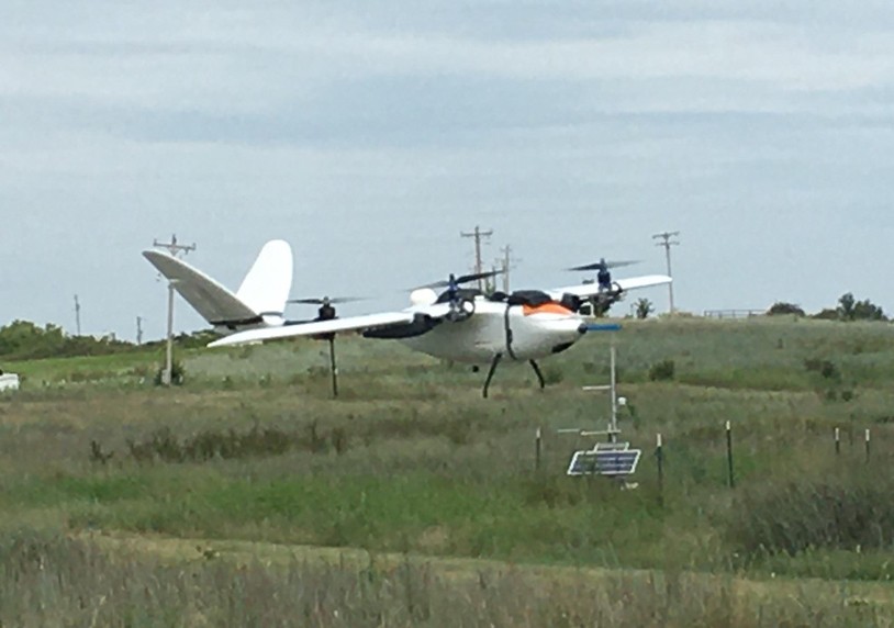
As part of the testing at KAEFS, coordinated flights were successfully conducted using three aircraft, which were controlled by on-board, pre-configured autopilot systems. In one configuration of the testing, two quadcopters ascended in unison to a height of 1,500 m (4,921 ft) above ground level while a fixed-wing aircraft executed a helical ascent in tandem with the quadrotors. The resulting data offer new insights into the structure of the lower atmosphere. Each university received approval from the Federal Aviation Administration (FAA) to conduct the flights. During operations, ground-based visual observers monitored the airspace near the flight operations to avoid possible interactions with piloted aircraft (airspace deconfliction).
Moreover, the joint measurements allow the teams to assess the accuracy and representativeness of the atmospheric data collected. During the flights, all vehicles were collecting measurements of pressure, temperature, humidity, wind speed, and wind direction. The image below is a depiction of four different sets of coordinated flights. Analysis of the data for is ongoing as part of preparations for OUTFLOW, which has been rescheduled for Spring 2021.
For more information regarding CASS or OUTFLOW, you can follow the team on Twitter (@ou_cass) or contact Dr. Phil Chilson (Director) or Dr. Liz Pillar-Little (Assistant Director).


