
Meet the students behind our "What will you explore?" campaign.
Petroleum Geology and Geophysics
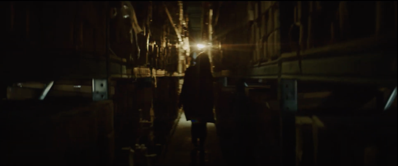
Karelia is visiting the Oklahoma Geological Survey’s Oklahoma Petroleum Information Center or OPIC, which is just a few miles from campus.
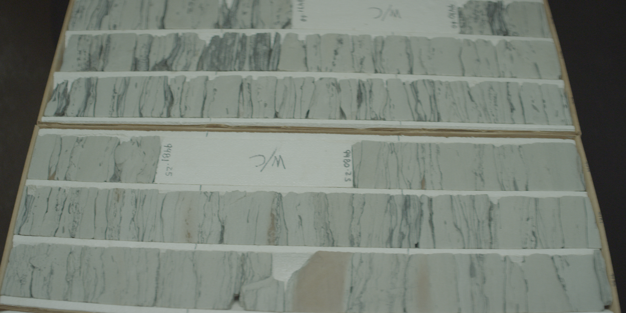
OGS-OPIC provides access to outstanding professional industry experience to supplement our students’ academic progression in the field of geology. Featuring core and cuttings material from more than 25,000 wells from Oklahoma and 47 other states, OPIC offers students an industry-driven research experience that includes a modern core examination room, a machine shop for plugging, sampling and slabbing. Students have access to equipment for core photography, gamma ray scanning and core plug reclamation.
“OPIC’s facility spans the size of seven football fields and is home to samples including well data -- well logs, completion reports, aerial photos, production reports, 100-year-old hand-written scout tickets, and geologic maps – as well as several warehouses full of rock cores and cuttings. Processing, cataloging, and archiving these data to make them accessible, and consequently useful, is a principal activity at the OGS-OPIC facility.”
Richard D. Tarver, Data and Collections Manager, Oklahoma Geological Survey
The University of Oklahoma is home to the world’s first school of petroleum geology. Students join in a history that spans more than 120 years as geologists and geophysicists who work in the energy industry.
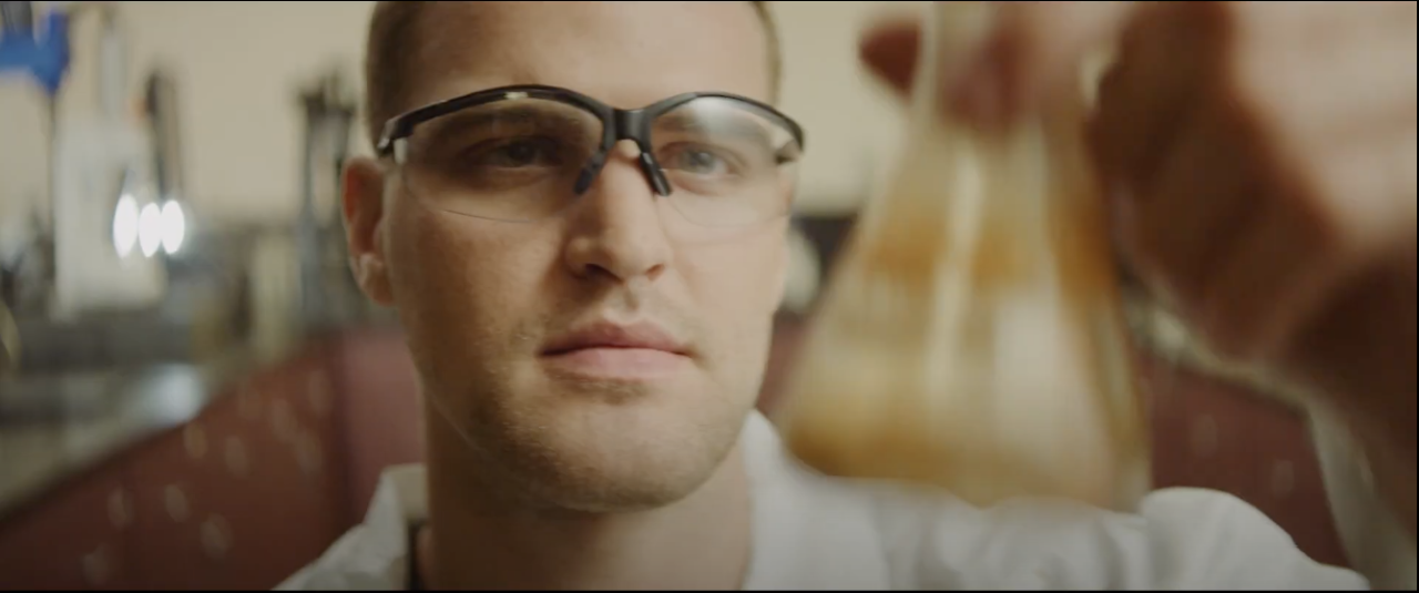
“When Karelia looks at this core sample taken from a well, she observes geological formations that are thousands of feet below Earth’s surface. The various characteristics of the rock formations provide a geological record that allows Karelia to interpret Earth’s past environments and to reconstruct what the area was like millions of years ago.
By understanding Earth’s past environments and how these rock formations vary through time and across a state or even a continent, Karelia can determine areas that are most ideal for the occurrence of energy and mineral resources. These are important resources that provide power and essential materials and products for society.”
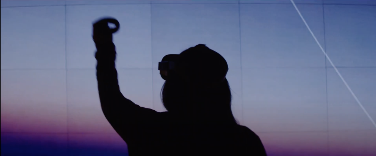
Karelia is using virtual reality software available to Mewbourne College students through an innovative partnership with OU Libraries.
“Seismic reflection data reveals clues about the subsurface to geoscientists. In this type of data, we can understand past tectonic events, observe sedimentary structures and how they evolved through time, as well as form hypotheses about the type of rocks buried miles beneath our feet.
We are often limited to look at these immense datasets on a small computer monitor, but with the resources at OU, we can view the data in virtual reality and on large screens! This allows us to engage our peripheral vision so that our minds can view not only the data in front of us… but around us!”
Petroleum Engineering
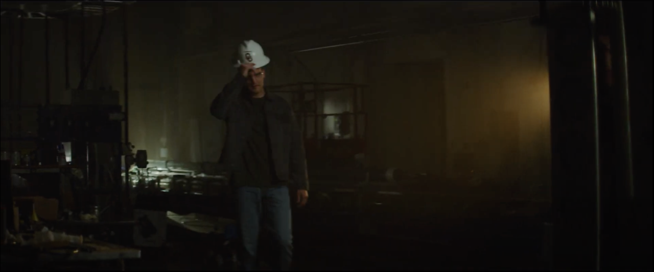
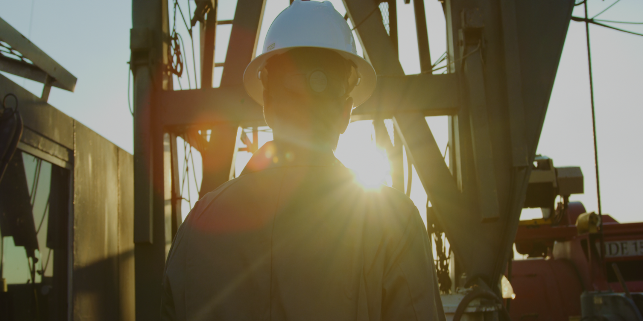
Payton is at Mewbourne College’s Well Construction Technology Center at the Drillbotics Rig. Drillbotics® is an international student competition where teams design and build a miniature 500-pound drilling rig that uses sensors and control algorithms to autonomously drill a rock sample. Each year, the team is given a new challenge to complete for the competition.
Just as with actual rigs, the OU Drillbotics® rig is outfitted with a unique steering technique, which allows students to precisely control the trajectory of the wellbore from the surface.
Students master a complicated array of electronics to ensure that controls, sensors and rig mechanics are all properly communicating with each other. When problems arise, team members work together to identify a solution. With the theoretical understanding gained in the classroom, they branch out – digging through textbooks, talking to professors and consulting experts.
OU Drillbotics® teams have brought home first-place international wins twice.
Research is an important part of life at Mewbourne College. Undergraduate and graduate students work together to conduct cutting-edge research. Here Payton is demonstrating nanotechnology research happening in the lab of petroleum engineering professor Ramadan Ahmed.
OU students are actively involved in nanotechnology research and development activities including the treatment of produced water using magnetic nanoparticles. During oil and gas production, more than 20 billion barrels of water is co-produced nationwide. The treatment of produced water is aimed to limit injection-induced seismicity potential, reduce disposal costs, and provide an alternate source of water for other industrial needs.
“Magnetic nanoparticles have the potential to separate residual oil from produced water. This project focuses on the development of new treatment technology for removing emulsified and dissolved oil from produced water. Surface-active magnetic nanoparticles will be used as the main functional element of the treatment system. The removed oil will be recovered as a useful by-product. Thus, the treatment system is not expected to generate secondary pollutants.”
Dr. Ramadan Ahmed
“Experience cannot be taught. Experience is learned by doing. Our field trips help our students have the most unique hands-on experience that will prepare them for the reality beyond classroom, beyond school. As Benjamin Franklin once said: 'Tell me, and I forget. Teach me, and I may remember. Involve me, and I learn.' We do offer our students the foundation in the class, but when students through experience, lessons become knowledge. From the chalk board, to the NOV Drilling simulator, students gain the understanding of what their profession could be. But it’s only through a field trip that students fully grasp the life as an engineer, with the dirt, the smell and the life out there searching the depth of earth for the energy that propels mankind.”
Dr. Catalin Teodoriu
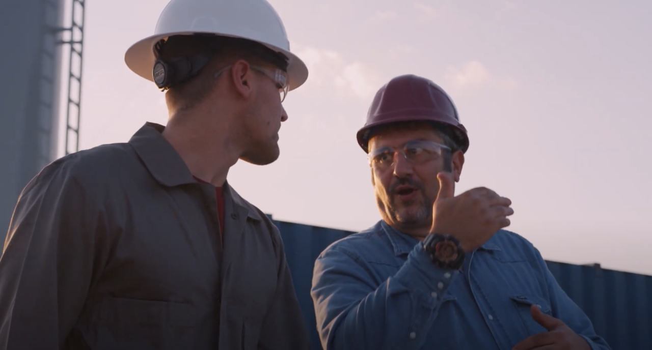
Students’ time in the field is not limited to learning technical knowledge. Mewbourne School of Petroleum and Geological Engineering faculty member Dr. Teodoriu is a leading expert in the research and teaching of Human Factors, and the study of human error. This is a non-technical skill we consider nothing short of essential for our students.
“Cognitive psychology is defined as the science of the mind and includes domains like perception, memory, knowledge, thinking and beyond. A good training of the mind requires hands-on training and thus the ability to see, touch and understand one’s surrounding, which in the end, will strengthen the memory, enhance the knowledge and push critical thinking beyond the limits. To build a strong Human Factor skillset for our students, we start within a controlled environment like our in-house Drilling Simulator Center. There, our students learn to perform various drilling tasks without the fear of a catastrophic outcome. To complete their training, a field visit allows them to see, understand and touch the picture they’ve seen in their mind throughout their education: a drilling rig in action. The AHA! moment is priceless, and thus as a professor, it it the biggest reward.”
Dr. Catalin Teodoriu
Geology, Environment Geology, Hydrology and Geochemistry
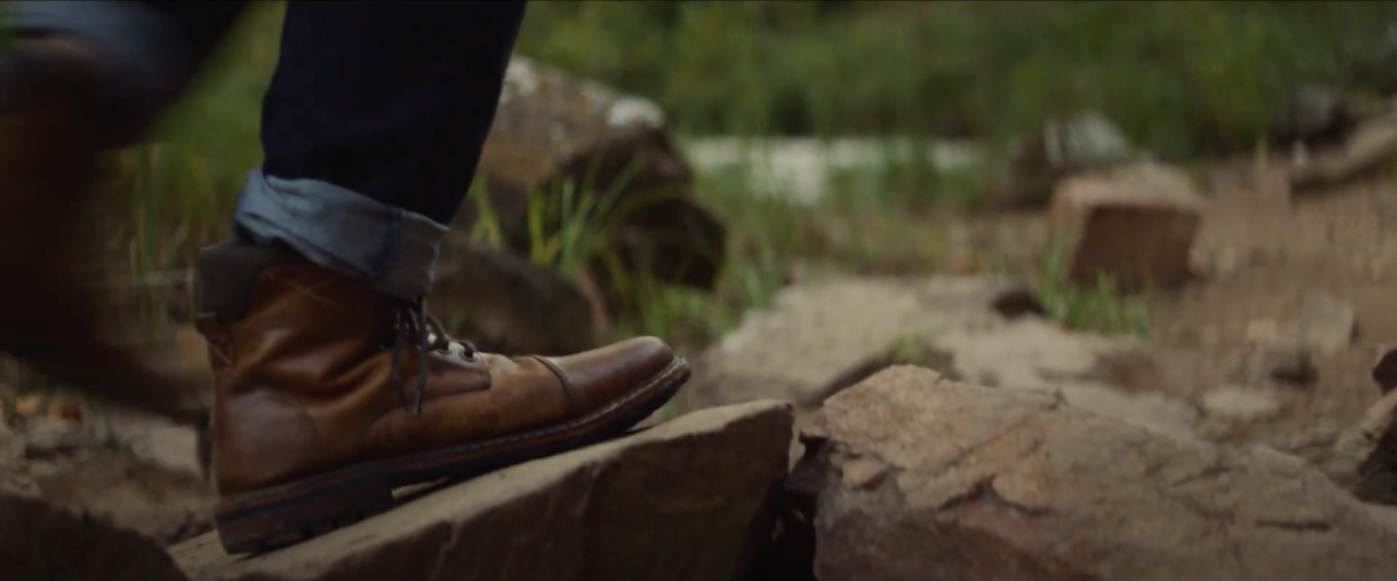
Oklahoma is a playground for geoscientists. We followed geology master’s student Delcio who, like geoscientists who come from around the world to study our unique topography, headed into Oklahoma’s unique field.
“Oklahoma encompasses old tectonic plate boundaries --including remnants of mountain belts that formed during the assembly of the supercontinent of Pangea. Yes, the landscape is worn down, but includes an amazing record of changes in Earth’s crust, sea levels, climate, and life over the last billion years.”
Dr. Lynn Soreghan, Director, School of Geosciences
“The rocks beneath Oklahoma have seen a lot of history - from continental collisions and shallow inland seas, to magma intrusions, uplift, erosion, and soil formation. This diverse and exciting history has produced diverse and exciting rocks for our students to explore. Geologists from around the world come to Oklahoma to study our rocks in the field. As a geoscience student at OU, you get to study these rocks up close and personal in the classroom, field, and lab.”
Dr. Megan Elwood Madden
In fall 2021, the OU School of Geosciences celebrated its 120th anniversary of student field trips. OU geoscience students have been going into the field longer than many geology programs because the faculty know its importance.
“Geoscientists go to the field because that’s where the rocks are! We can make maps of rock units, take data on how the rocks are folded or faulted, or bring samples of rocks or fossils back to our labs for further investigation. It is important to go to the field to understand the large-scale context of the landscape. We need to look at the whole area to understand the context of the rocks we see there – what types of rocks, how they are oriented in space, and what the topography looks like. We can do this by being in the field, on the ground, and then we can go back to lab and also use tools like Google Earth to do the same thing and help augment our field observations.”
Dr. Shannon Dulin
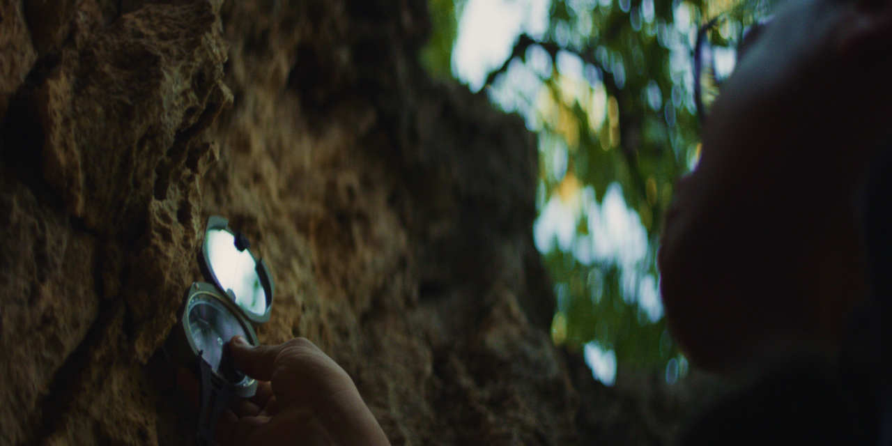
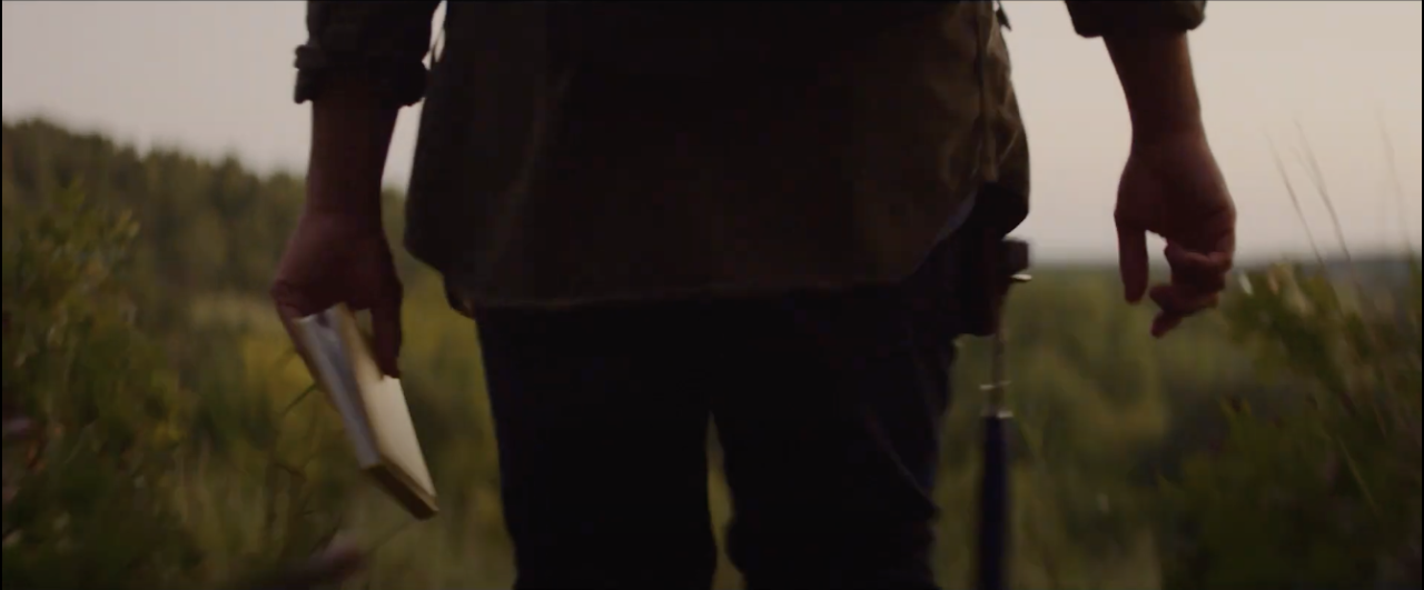
Delcio is carrying three essential tools for geoscientists: a field notebook, rock hammer and Brunton compass. In order to describe rocks, it is best to have a fresh surface free of dirt or vegetation. He will use that hammer to break off a fresh piece of rock and then use his magnifying glass to investigate.
He’ll then use the compass to figure out the strike and dip of the rock. That tells him the orientation of the rock in space so he can look at the structure in the area – what large-scale forces shaped the landscape and possible moved or folded the rock. He’ll record all this information in his field notebook.
Did you know that geoscientists study all the Earth’s materials, not just rocks? Geoscientists connect chemistry, physics, and biology to study integrated Earth systems and processes that affect not only rocks and minerals, but also water quality, global climate and our communities.
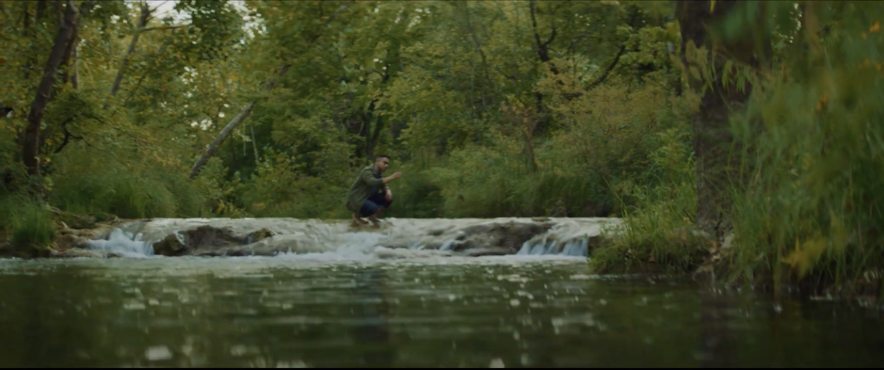
“Delcio is gathering water samples to take back to the lab. There he can focus on water chemistry to learn more about the environment like near-surface geologic processes, the effects humans have on our water resources and the changes in atmospheric chemistry over time connected to organisms that evolved and thrived on Earth’s surface.”
Dr. Megan Elwood Maden and Dr. Kato Dee
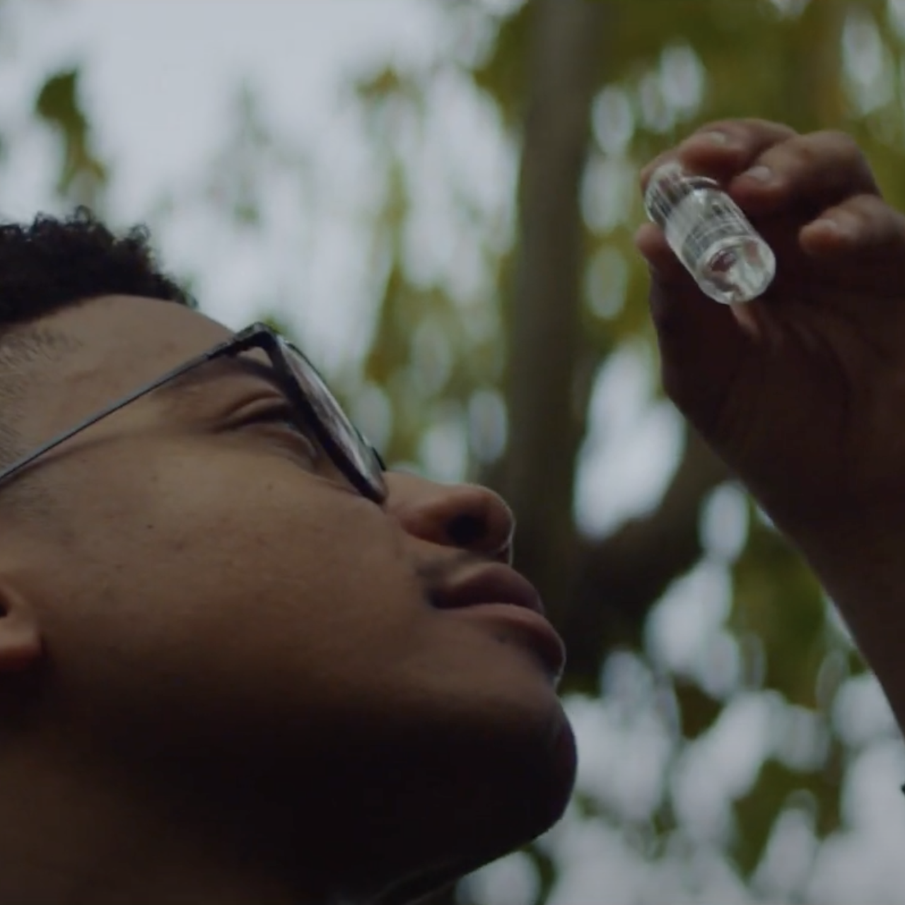
“The water Delcio is sampling here in the Chickasaw Recreation area near Sulfur is a mixture of old water that has spent thousands of years moving deep beneath the surface and surface water that recently entered the stream as runoff from precipitation.”
Dr. Megan Elwood Maden
