Skip Navigation

OU Researchers Travel to the Gulf of Mexico to Intercept Hurricane Laura

Skip Side Navigation
OU SMART radar, managed through CIMMS, with the NOAA P3 hurricane hunter
August 27, 2020

OU Researchers Travel to the Gulf of Mexico to Intercept Hurricane Laura

Meteorology graduate student Alec Prosser operating the radar during the passage of hurricane Dorian off the Florida coast in 2019

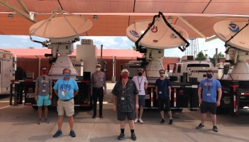
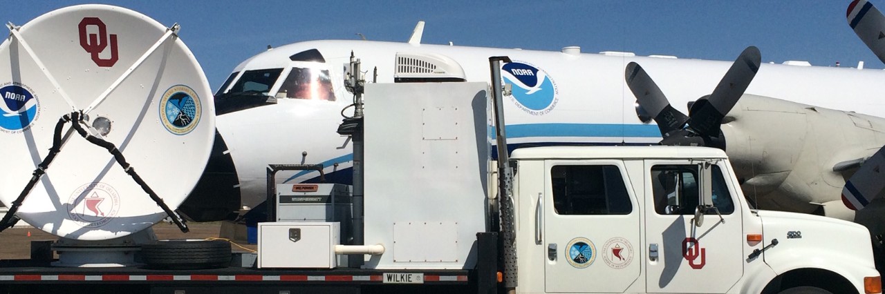
NORMAN, OKLA. – A team of research scientists from the University of Oklahoma and the National Oceanic and Atmospheric Administration National Severe Storms Laboratory have traveled to Texas near the Gulf of Mexico to collect data during the landfall of Hurricane Laura.

The data collected will allow for a better understanding of hurricane winds and the damage they cause. This knowledge will aid in the development of cost-effective building codes to lessen future damage, provide more data to improve other infrastructure, and increase storm resilience.

“We want to help mitigate property damage by working with engineers and using our data to improve the building and construction codes needed to develop a more resilient national infrastructure in the future,” said Michael Biggerstaff, OU School of Meteorology professor. 

The team, led by Biggerstaff and Sean Waugh from the NOAA NSSL, is working closely with colleagues from Texas Tech University, the University of Florida, the Center for Severe Weather Research, and the University of Alabama-Huntsville.

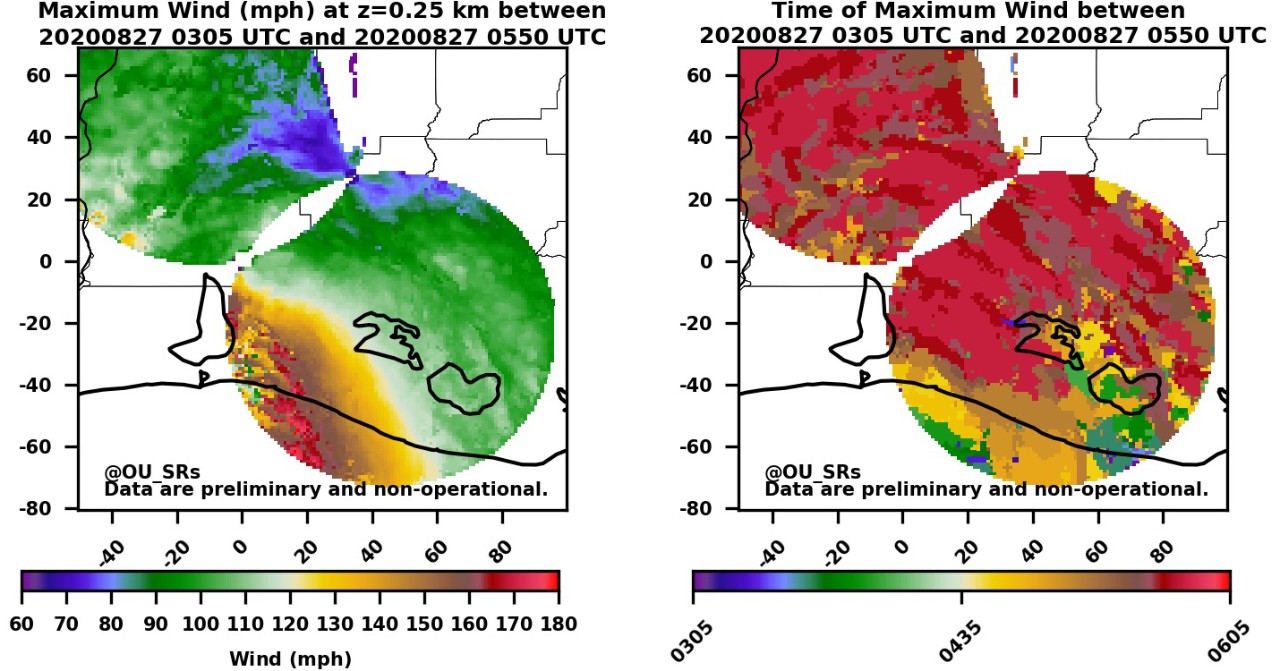
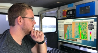
Data collected by the team will be shared in real-time with NOAA National Weather Service Forecast Offices and emergency managers in areas affected by the storm. A preliminary map of maximum winds show wind speeds reached up to 180 miles per hour just 250 meters above the ground occurred to the south and southeast of Lake Charles, LA.
 

A preliminary map of max winds that occurred to the south and southeast of Lake Charles, LA for a three hour period ending at landfall. Winds located just 250 meters above the ground reached up to 180 miles per hour.


“We are collecting great data in coordination with the National Weather Service office in Lake Charles,” Biggerstaff said. “We are in a great position to measure the strong winds during landfall, which is our objective under the National Institute for Standards and Technology grant.  We are also seeing evidence of mesocyclones along the inner edge of the eyewall. We also collected data on numerous long-lived tornadic circulations in the outer bands


OU Team before departing for the Gulf of Mexico

Team members deployed include OU Data Scientist Gordon Carrie, and Cooperative Institute Research Scientist Kim Elmore, with doctoral students Addison Alford and Noah Brauer, and undergraduate students Robert Moore and Jeffrey Stevenson.

The OU researchers will collect data using mobile radar units known as SMART (Shared Mobile Atmospheric Research and Teaching) radars, operated through the Cooperative Institute for Mesoscale Meteorological Studies and the College of Atmospheric and Geographic Sciences.

The radars are used to map the maximum winds observed during landfall, determine the duration of severe winds at each location within their domain, and evaluate the impact of tornado-like mesovortices, small-scale rotational features found in storms created by surface heating. These mesovortices are often found on the inner edge of the eyewall during landfall.

OU's SR2 SMART radar set up near Vinton, LA before and after the landfall of Hurrican Laura.

NOAA NSSL deployed a truck with weather instruments attached, known as a Mobile Mesonet, along with small portable weather platforms. The Portable In Situ Precipitation Stations, or PIPS, have sensors to measure temperature, pressure, humidity, wind speed and direction. In addition, PIPS determine the distribution of particle sizes by using an instrument called a Parsivel disdrometer to measure the number and size of any object that falls through it.